

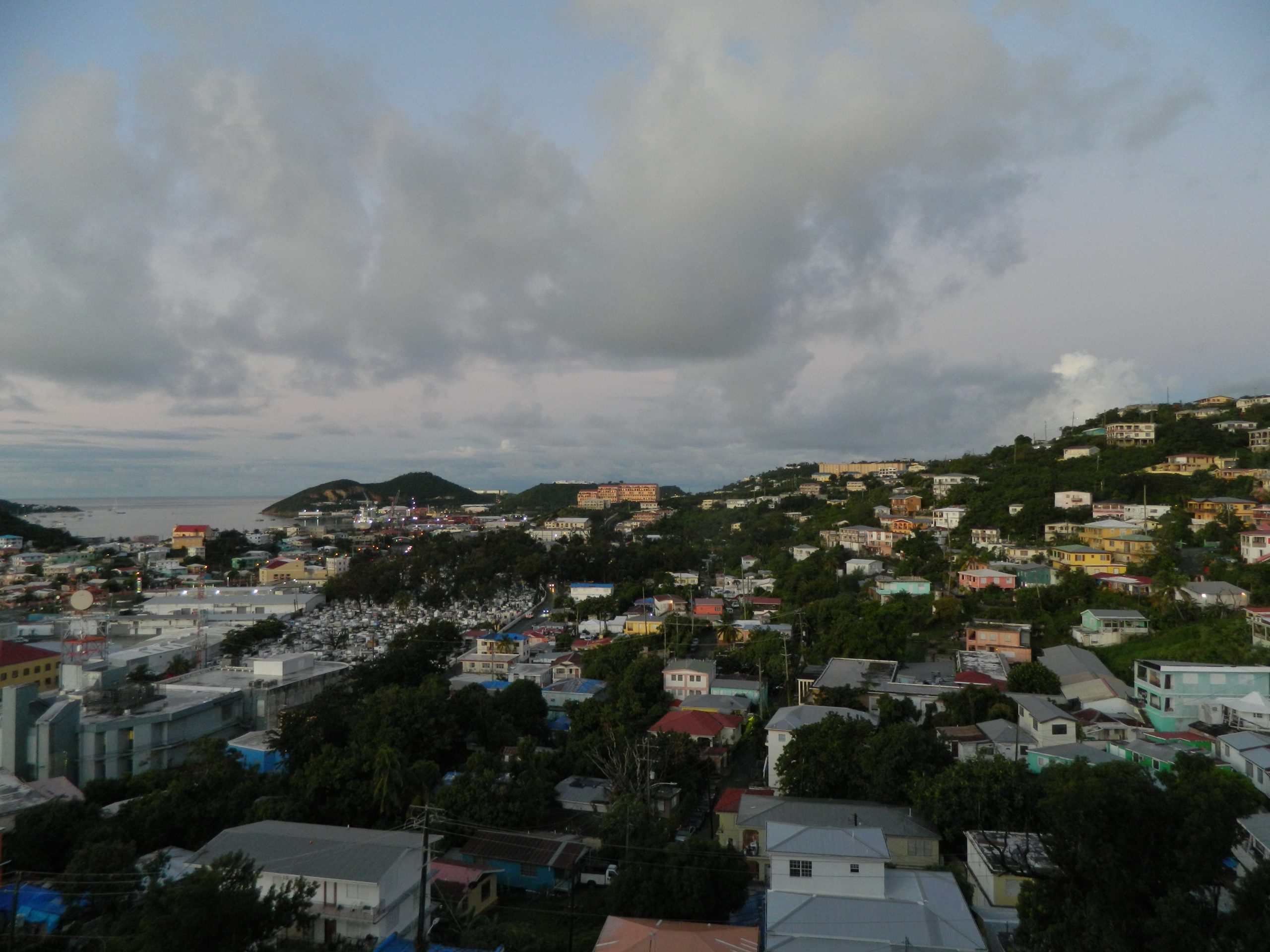
The U.S. Virgin Islands is bracing for a significant stretch of heavy rainfall this week as atmospheric conditions align to bring moisture-laden systems across the territory through at least Wednesday.
For St. Thomas and the wider USVI community, the convergence of a mid-level weather system moving across the Caribbean and developing low-pressure patterns means residents should prepare for the possibility of urban flooding, stream overflow and localized landslides over the next few days. The National Weather Service has flagged Monday and Tuesday as the highest-risk periods, though above-normal moisture is expected to linger through late in the week.
A weather trough is expected to reach Puerto Rico and the Virgin Islands late Sunday, intensifying Monday as it develops into a more organized low-pressure system. On Monday morning, showers and isolated thunderstorms will move across the Virgin Islands, with heavier activity developing in Puerto Rico’s interior. By Tuesday, if a closed low forms, wind patterns will weaken significantly, potentially slowing rainfall and increasing accumulation risk in the eastern and northern portions of the territory.
Forecasters estimate daily rainfall of one to three inches, with isolated areas receiving higher amounts. While the National Weather Service noted medium confidence in the current forecast—meaning small shifts in timing or position could alter rainfall distribution—the outlook remains concerning given existing ground conditions.
The USVI is entering this wet system already saturated from months of above-normal precipitation. The past 60 days have delivered between 300 and 500 percent of normal rainfall in southern Puerto Rico, with interior and northern areas receiving 100 to 200 percent above typical levels for February and March. A brief dry spell over the past two days provided minimal relief to waterlogged soils.
This persistence of wet conditions breaks from typical seasonal patterns. By mid-April, the northeast Caribbean normally transitions into the early wet season following a dry period. This year, the dry season never materialized, leaving the region in an extended period of above-normal moisture that has challenged local drainage infrastructure and vegetation.
Streams across the USVI and eastern Puerto Rico are running at or above normal levels, limiting their capacity to absorb additional runoff. Saturated soils in particular areas of southern Puerto Rico face the highest vulnerability to rapid runoff and erosion.
Residents and property managers in flood-prone areas should monitor National Weather Service updates closely over the weekend, as forecast refinements are expected as the system approaches. Additional details are available through the Area Forecast Discussion released by the National Weather Service.
The territory’s coastal and low-lying communities should treat this forecast seriously. Even if Monday and Tuesday’s heaviest rain passes without significant impact, the extended moisture pattern through the week means another rainy period could develop before soils have a meaningful chance to dry.