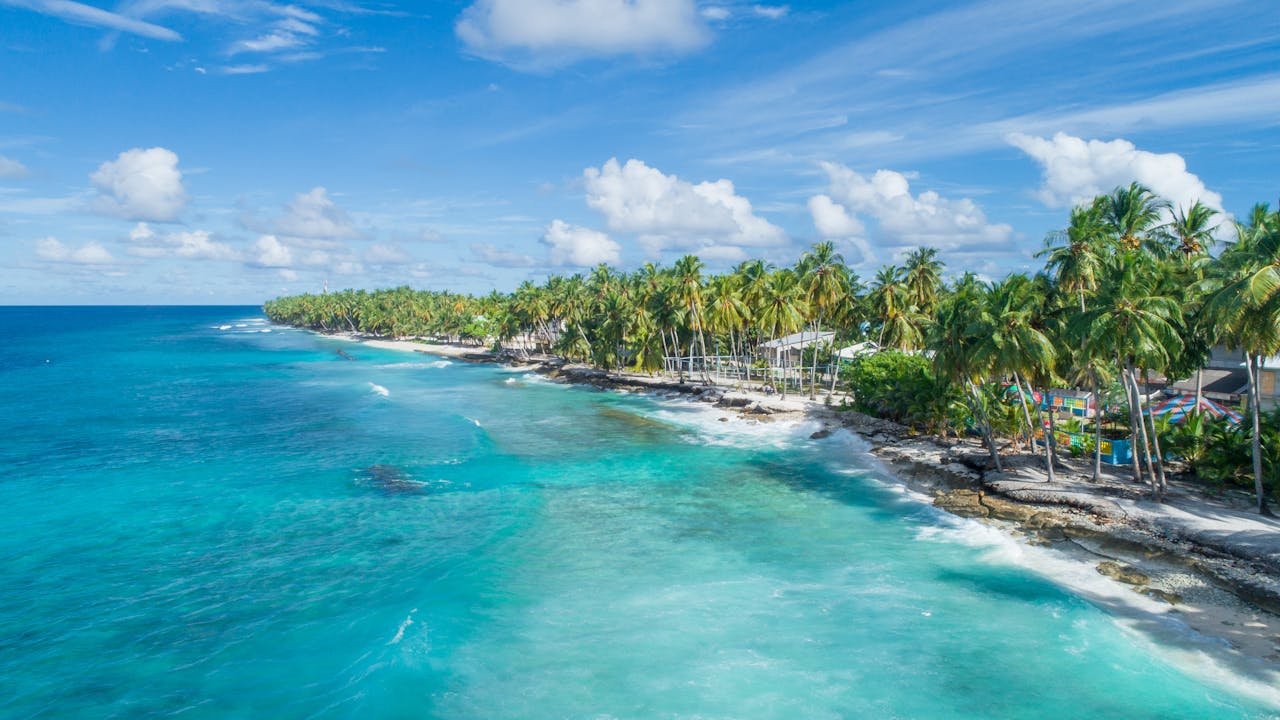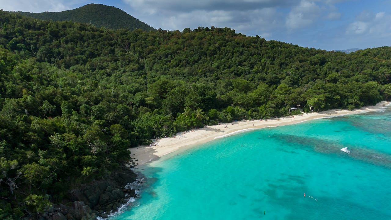

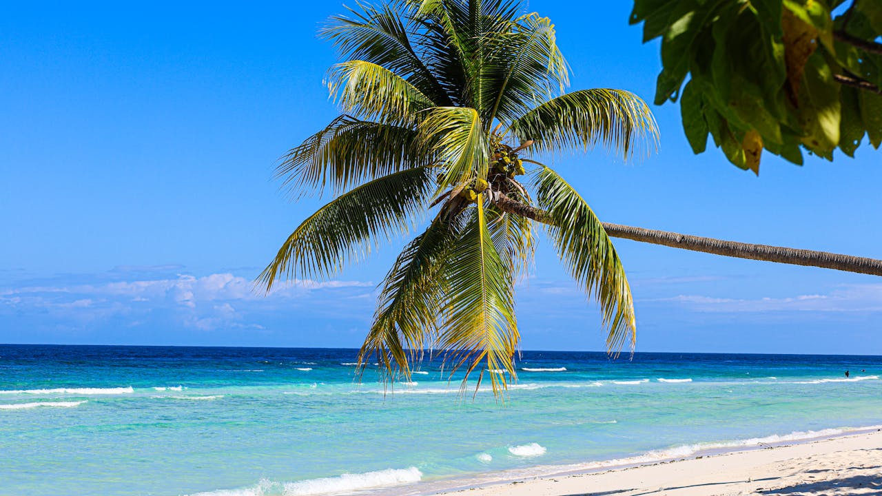
Beachgoers across the U.S. Virgin Islands face escalating water hazards this week as the National Weather Service warns of life-threatening rip currents that will worsen through late Thursday evening.
The initial threat began this morning and will persist along north and east-facing beaches throughout Culebra, St. Thomas, St. John, and St. Croix. What makes the situation particularly concerning is the timing: a weak northeasterly swell expected to develop late tonight will combine with locally generated wind-waves to create what forecasters describe as “confused seas”—a chaotic water condition that significantly increases rip current danger.
Rip currents are narrow, powerful channels of water flowing away from shore. Even experienced swimmers can find themselves swept into deeper waters where returning to safety becomes difficult or impossible. The National Weather Service emphasizes that these currents can overwhelm even the strongest swimmers, making them one of the most dangerous beach hazards in the territory.
Why This Matters Now
For residents and visitors planning beach time, the advisory carries real consequences. The combination of swell and wind-generated waves creates unpredictable water conditions where currents can shift suddenly and intensify without warning. The timing—spanning from early morning through late Thursday—captures much of the typical vacation and weekend recreation period.
The northern and eastern exposures of the islands face the greatest risk because they directly face the Atlantic Ocean and receive the full force of incoming swells and wind-driven waves. Beaches on the south and west sides, which are generally calmer, offer safer alternatives during this period.
Understanding the Hazard
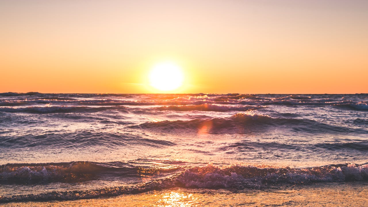
Rip currents form when waves push water onto shore, and that water must find a way back out to sea. It concentrates through narrow channels, creating a swift, offshore-directed current. The “confused seas” forecast suggests that overlapping wave patterns from different sources will make it harder to predict where these dangerous channels will develop or how strong they’ll become.
The weak northeasterly swell moving in represents typical Atlantic summer conditions, but when layered atop existing wind-generated waves, it compounds the problem. Beach conditions that appear manageable at first glance can hide serious hazards beneath the surface.
Safety Recommendations
The National Weather Service urges residents to avoid swimming in affected areas during this advisory period. Those who do enter the water should do so only at lifeguarded beaches, swim with a buddy, and remain aware of changing conditions. If caught in a rip current, the standard advice is to remain calm and swim parallel to shore rather than fighting directly against the current.
Local beach conditions typically stabilize by Friday as the swell moves through and wind patterns shift. However, residents should monitor updates from the National Weather Service throughout the week, as conditions can change quickly in the island environment.
The Virgin Islands Department of Planning and Natural Resources and VITEMA, the territorial emergency management agency, typically coordinate public safety messaging during weather hazards. Regular updates are available through official government channels.
With the advisory in effect through Thursday evening, beach lovers should consider alternative activities or plan their water recreation for areas with calmer conditions and established lifeguard presence.